
New Community Area Maps on the Chicago Health Atlas Highlight Three Additional Indicator Data Sets
The Chicago Health Atlas
now has three new data sets as heat maps available by community area. Users can now explore:
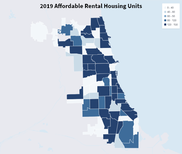
- Available Affordable Housing Units
: Total number of Affordable Rental Housing Units per community area. Affordable Rental Housing Units are units that are supported by City of Chicago programs to maintain affordability in local neighborhoods.
- Grocery Store Density
: Total number of grocery stores per community area as of 2013. Totals were cross-referenced with the city's business license data and used by the city to calculate the estimates of Chicagoans living in food deserts in 2013.
- Department of Family and Support Services : Total number of Social Services per community area based on the City of Chicago's list of delegate agencies with which the Department of Family and Support Services has contracted to provide services to residents of Chicago
Each of these additions map to an impact area of the social determinants of health: housing, food access and social service availability.
“The goal of adding data to this platform is to continue its evolution
as a decision-making tool for residents, organizations and policy makers alike
in Chicago,” according to Leslie Durr, Manager of Community Solutions for City
Tech.
The Chicago Health Atlas strives to equip residents with health-related
data that is easy to access, understand, and drive future actions. The Atlas
continues to add more community-specific information with the goal of increasing
informed, data-driven decisions about the products and services that create
healthier lives for Chicago residents.
The new data additions were made possible thanks
to the Partnership Opportunity Fund,
established in late Spring 2018
through City Tech
’s collaboration
with the Otho
S.A Sprague Memorial Institute. The fund
was established to diminish preclusion of organizations with relevant data from
becoming long-term data partners.
By the end of 2019, the Atlas intends to add data around
the location of Medicaid accepting dental
locations by community area, updated quarterly by the Health Resources and
Services Administration (HRSA). Other relevant data sets now available on the
Atlas include Sinai Urban Health Institutes Community Needs Health Assessment
indicators (funded by Sinai Health and Hospital System) and Air Quality (funded
by Bloomberg Philanthropies).
For
more information about the Atlas and how your data can enhance a community
resource, contact Leslie Durr, City Tech’s Community Solution Development
Manager, at Leslie.Durr@CityTech.org. The Chicago Health
Atlas is generously supported by funds from the Otho S.A. Sprague Memorial Institute
and the Partnership for Healthy
Cities.
About City Tech Collaborative (City Tech):
City Tech reinvents
cities. We convene cross-sector leaders to tackle urban problems that are too
big for any one group to solve on its own. We remake essential city services
and infrastructure using advanced technology and then expand these solutions to
other cities. With our partners, we have diverted rainwater from overloaded
sewer systems, eased subway congestion during large events, and launched a
digital directory of public health services. Chicago is our proving ground and
every city is a potential partner. To learn more, follow City Tech on Twitter
or LinkedIn.
About the Chicago Health Atlas:
The Chicago Health
Atlas is a community health data resource that residents, community organizations, and public
health stakeholders can easily search, analyze, and download neighborhood-level
health data for the City of Chicago. A City Tech solution, the Chicago Health Atlas was initially developed in 2012 by the
Smart Chicago Collaborative and the Chicago Department of Public Health (CDPH)
with funding from the Otho S.A. Sprague Memorial Institute.
Explore the
Chicago Health Atlas by visiting www.ChicagoHealthAtlas.org.